 Call Today
|


|
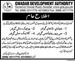
GDA List Of The NOCs .pdf Size : 1315.563 Kb Type : pdf |
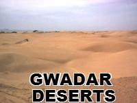
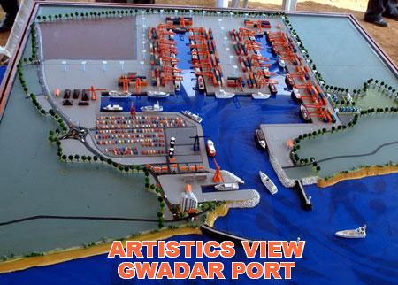
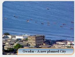
“SAND TURNS INTO GOLD"


Your Most Trustworthy and Oldest Name for Gwadar Real Estate
Iqra Associates is an independent estate agency ideally located on vibrant Clifton Karachi specializing in sales, purchase, lettings and management of all types of residential and commercial properties in Gwadar , Karachi South and surrounding areas. As a company we pride ourselves on our professional and friendly approach to all our clients and their property needs. We have extensive database of landlords, tenants, buyers and overseas investors.
The process of taking decisions and implementation for real estate investments can be very stressful at times. We, at Iqra Associates, enjoy what we do and we try our best to make the process as simple and easy as possible for our clients. We are highly qualified and can provide you with all the tools and advice you need, especially in today’s rapidly changing, complex housing market. We are happy to answer any questions you may have about buying or selling or investments - contact us now!


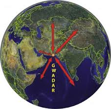
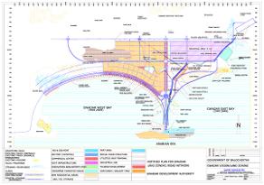
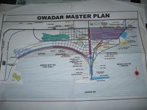
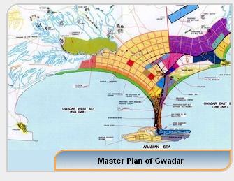
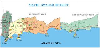
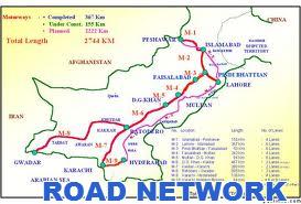
MASTER PLAN AND MAPS
Translate This Page